Showing posts with label wild camping. Show all posts

Friday, 26 August 2022

Windermere two day wild camp

Day One

This time I headed up to the Lake District for some hiking and to practice what I had learnt on my mountain skills course.

Once again I was on the train so I was dropped off at Grindlefordfor the 728am train to Manchester, changed there and it was a direct train to Windermere, arriving at 1034am so that gave me lots of time. One of the things I realised on my course is that navigation takes time and i was trying to push the distance too much, i had been worried that i was too slow and not doing enough distance! So I had shorter days planned but with more micro navigation practice.
As soon as I was on open access land I tried to navigate to an interesting contour feature, I did overshoot it but looking back there had been hints I was that I should have listened to! 
Continuing on I found a spring and went through some lovely purple heather.
Continuing with my navigating I found a ballon, caught in the bracken well away from amy path. I cant go out in the hills at the moment without finding one it seems!

Then it was into Kentmere Valley where i could see Rainsborough Crag, which i had planned on scrambling up, avoiding the actual crags obviously!
Heading up I passed some lovely waterfalls, no nice swimable pools though.
Then it was up, lots of scrambling and it was very steep, but I took my time and checked my holds before transferring weight.
It was worth it when I came out at this lovely tarn, my planned stop for the night. Once I found a flat, dry spot I pitched my tent before having a swim.

It was lovely stopping earlier and not feeling rushed, the sun setting put on a lovely light show for me before I went to bed as well.

8.7miles 970m a

Day 2

I woke up early, but took a while to get up, I decided against a swim as i was feelibg a little chilly.
I said goodbye to my lovely camp spot and headed up to the top of the Yoke, before going on to Ill Bell.
I had been able to see one of the cairns up here from my campspot but I couldn't spot the tarn from up here. I could see where I had climbed up yesterday and it was hard to imagine a route through!

Then there was some more micro nav to find a stream, a contour feature where it met the path and this little structure.
I could barely see the square for it on the map it was so small but I paced to it perfectly on a bearing.
Passing this little resevoir i had hoped for a dip, but a circle outline on the wayer had me thinking it could be a sinkhole and best to stay out.
The last bit of micro navigation was a contour feature and this time I nailed it and could even point out the adjacent one.

All that was left was drop into Windermere for my train homem the journey was a mix of cancelled, delayed and busy trains but amazingly I just made my connection in Manchester to arrive homehot the expected time!

8.7miles 340m ascent

I actually didn't see another person from 11am on Wednesday till 9am on Thursday. So 22hours away from people gave me much needed time to reset and meant although the trains home were busy and all over the place I was in the right headspace to cope.


Thursday, 11 August 2022

Dent to Ribblehead

I arrived at Dent station and set off just before 12430, it was a proper sunny day so I was glad I had remembered suncream. A combination of footpaths, roads and a bit of scrambling brought me to my first waterfall of the day, Ibbeth Peril.
It wasn't flowing, but lovely pool for a dip. It was proper cold as well, my hands started to go numb and my Garmin got down to 13°C although I got out before it had time to completely settle.
After eating my lunch it was time to get properly into the hills, it wasnt long before I was off paths but the clear day did make the navigation easier.
Up on Great Coum I found a balloon caught by a dry stone wall so packed it into my rucksac to dispose of once back in civilisation. I was beginning to tire but knew I had to drop down to the valley to fill up with water as I was nearly out.
I dropped down to Thornton Falls, it was stunning and of course i had a dip! Then back up obto Whernside to find a spot to camp.
Once set up my feet were so pleased to get out of my boots and socks.

A late night for me meant I didn't get going till 730am, late for me when wild camping. As it was another hot day I decided not to climb any hills but stay lower, this actually meant I did a lot of navigating off path.
I skirted underneath Ingleborough on ny way to Ribblehead Vivaduct.
Then all that was left was yo drop down to the station.

38km hiked 1600m ascent


Friday, 29 July 2022

A two day Exmoor adventure.

Day One

Ali kindly drove me to Porlock Weir on the Devon coast so I could start my two day walk at the sea.
Obviously I started with a dip, although next time i need to choose a sandy beech as getting in over the big stones wasn't easy.

From there it was straight up through the woods but it was a lovely day and I was smiling.
However it was warm, so I soon changed into shorts.
As always I was trying to improve my navigation and this Reservoir up on the moors was my first spot to aim for.
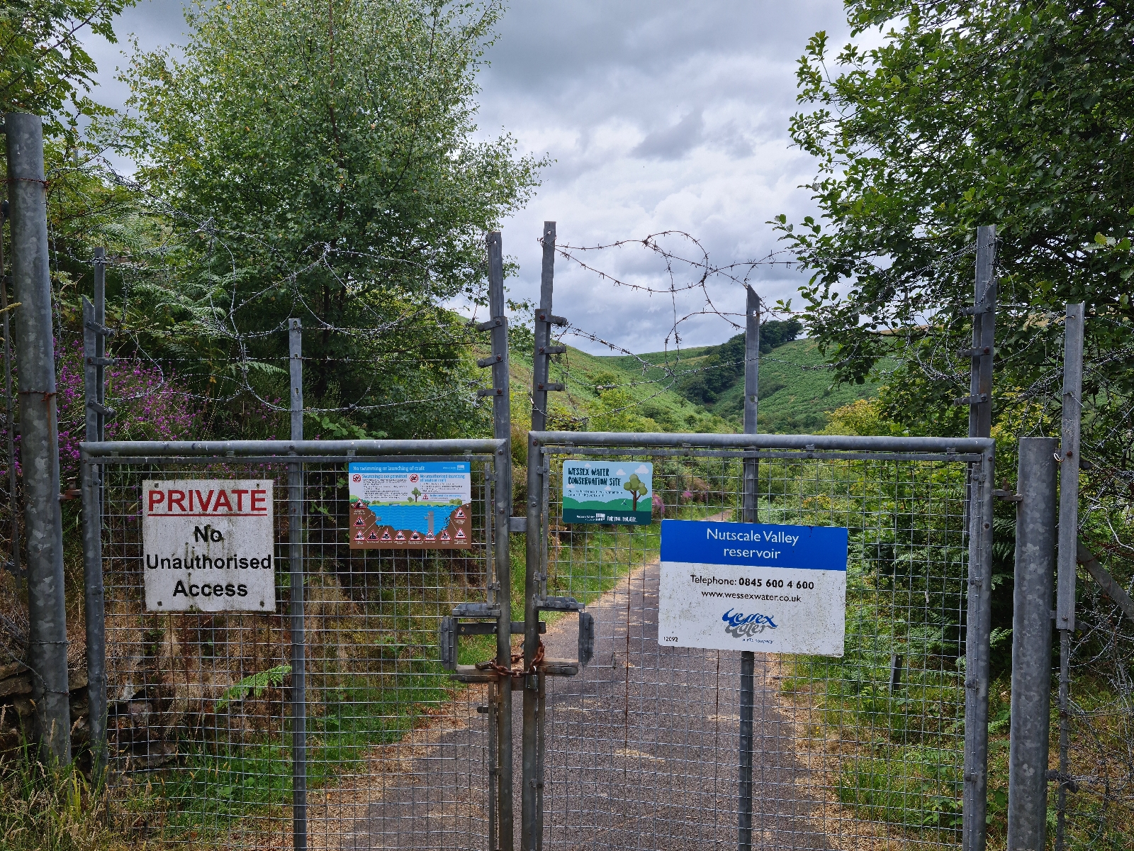
I had been hoping for a dip, it was surroubded by open access land, but it wasnt too be as it was well fenced in.

Onwards and across the moors, I made the decision to cut the route slightly shorter as I was making slow progress. This way I could camp a bit further along the route as well.
My feet were beginning to hurt and i was worried i might be getting a blister on ny heels, as I don't tend to suffer from them i hadn't brought any tape, but will add this to my pack next time.
I found a spot on the moors to set up my tent and was soon curled up in my sleeping bag nice and cosy.

15.4 miles hiked

Day 2

I was on my way not long after 7am and headed to Tarr Steps. On my way here I realised I'd lost the clip I use to attach my map to my rucksack, fortunately i was able to borrow another clip and some string to sort a new one. It makes it much easier when using poles.
Tarr Steps were lovely, glad I was there early so had them to myself.
Heading back onto the moors I saw some Exmoor Ponies, it was impressive how easily they moved through the bracken.

Up on the moors and it actually started raining, so waterproof was on for a while. another good spot to work on navigation. Then it was down into Dulverton where i had some lunch. Leaving here my feet were really hurting and my legs not much better so I wasn't moving super fast.But when I saw Wimbleball Lake I knew that I was on the final stretch. With fishermen and sailing boats on the water I wasn't sure I'd managed a dip.
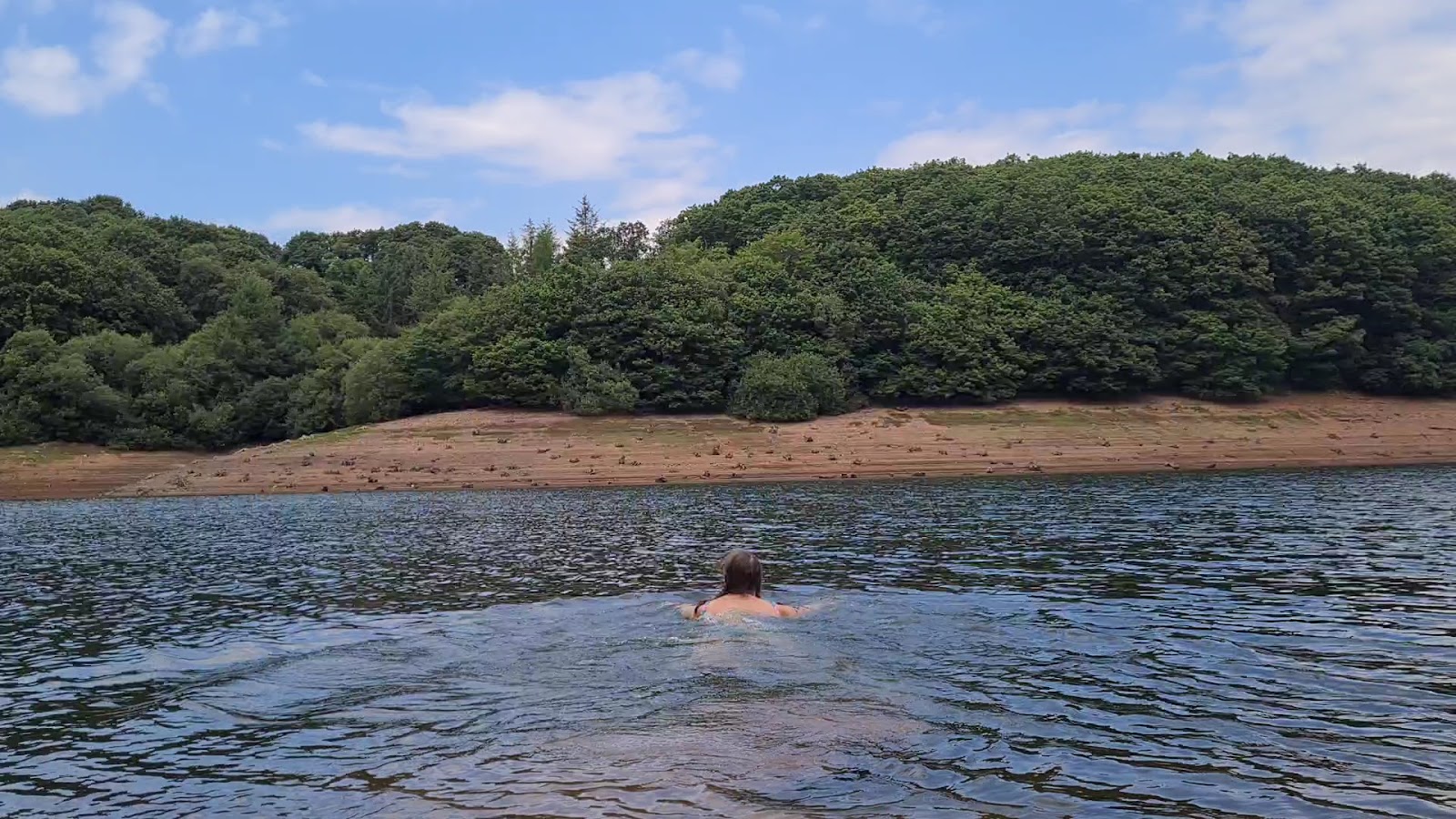
But i found a quiet spot and snuck in, felt much better when i got out and for a while even my feet stopped hurting.I had one last stop at the top of the last hill before descending to my friend Leila's where we have been spending g the week in our van.
Ali and Chip came to meet me on the last bit which was lovely.

Have to say I was happy to see the van.

17.4 miles covered

Overall it was a great adventure, but has left me very sore and tired. Ive definitely learnt that less mileage is better, especially if I want to spend time practicing navigation. Also although my boots felt super comfy everytime I put them on, I should probably have spent a bit more time in them before covering 33miles, being barefoot boots there is less cushioning than my other hiking boots.

Now where shall I plan my next adventure?

Tuesday, 5 July 2022

Horton-in-Ribblesdale to Settle - 2 day adventure

Day 1

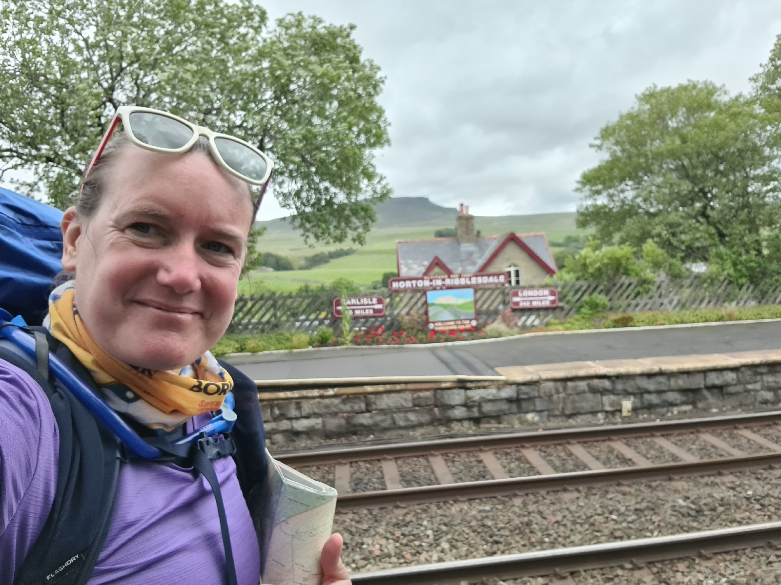
I travelled by train go Horton-in-Ribblesdale, it was a nice easy journey I just had to change at Sheffield and Leeds. I arrived at 235pm and had a plan to do about 10miles before camping.

I could see my first peak of the day, Pen-y-ghent as I left the station. It soon got steep climbing up, I even pit my poles away for a bit so I could use my hands to climb! 

Amazingly I got to sit and eat my sandwich at the top with noone else there, as I went to leave a group arrived though.

These were the last people I saw for the day. As I walked along to Plover Hill I could see over to where I was planning on heading. The weather was lovely although there was a biting wind high up.

I even tried to identify some plants!

I dropped down and crossed  river, where I was hoping to fill up with water. But it was completely dry, I was glad I had carried 3litres with me! 


I continued with lots of off path navigation, I was happy to find this trig point as I'd done some pacing to measure the distance.

On my way to where I was thinking of camping I found some flowing water, it was a little brown but I had my filter bottle with me to filter out any nasties.

Had to think a lot navigating the final stretch to Fountains Tarn as visibility had gone down to about 10m. In fact I nearly missed the tarn!

Then tent up before eating and then bed.

19.1km 1120m ascent

Day 2


I briefly woke up for sunrise but didn't actually get up till 630am and was on my way for 730am. It was lovely and clear again which helped with navigation.

I decided not to follow the wall, I rely on them too mych for my navigation but that meant that it was hard going.
But I found the first trig point i was heading too!
Descending to a road I was followed by some sheep and lambs, I couldn't help thinking how Cybi would have reacted to that.

After some footpath walking, it was more off path stuff to a trig point, I had to be careful with my navigation to avoid some crags.
I had views of Settle, where I was heading from this spot.


I was please with my navigation back down as I made my way perfectly between crags.
Dropping into Settle I enjoyed the flowerpot men as i walked to the station.

14.9km 378m ascent 


Reflections

Bring gaiters
Make sure don't drop map
If you have a nav plan, don't just follow what looks like a path
Need to rely less on walls for navigation - next walk do some practice with a 1:50000 map