Day 1
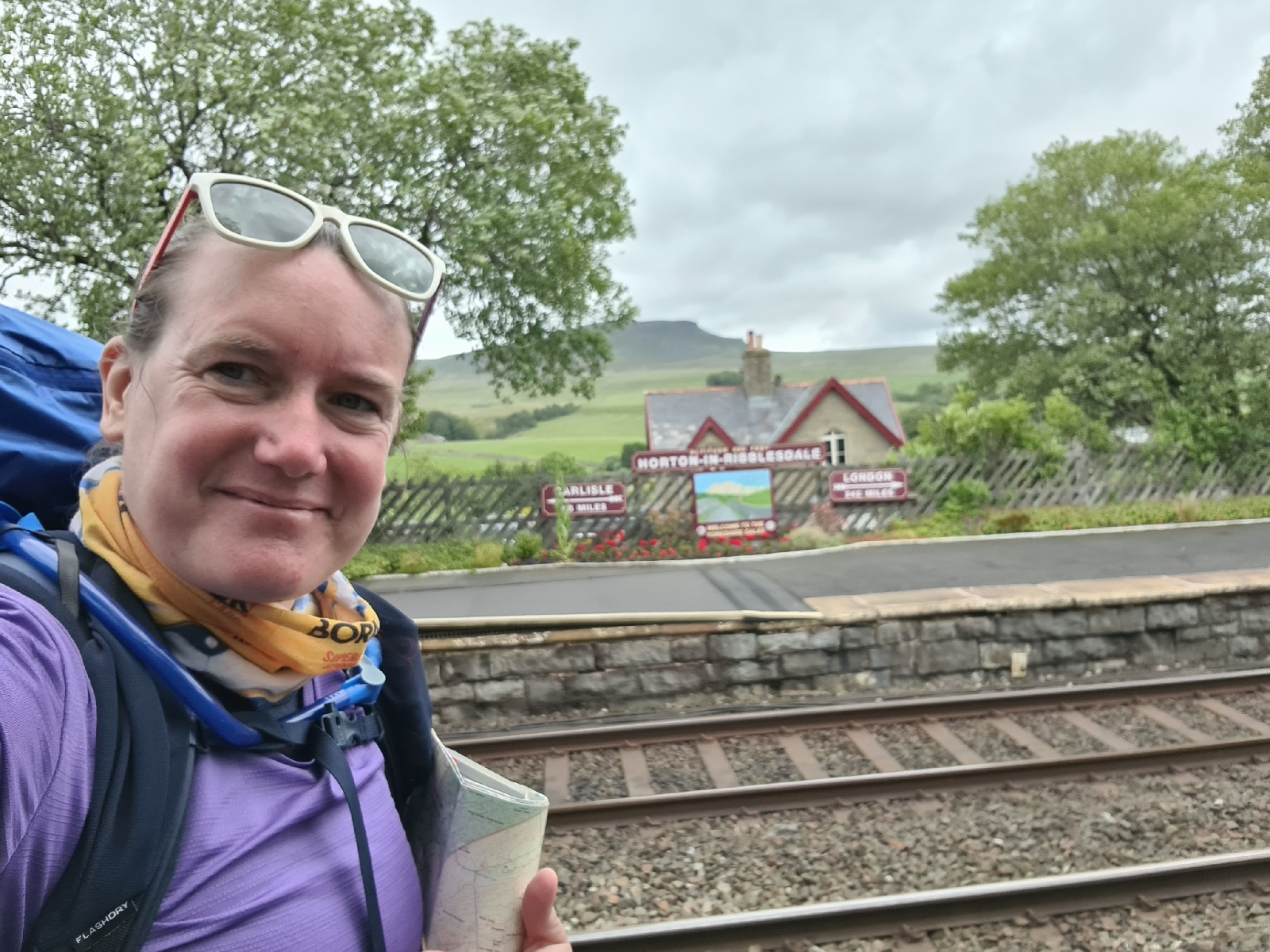
I travelled by train go Horton-in-Ribblesdale, it was a nice easy journey I just had to change at Sheffield and Leeds. I arrived at 235pm and had a plan to do about 10miles before camping.
I could see my first peak of the day, Pen-y-ghent as I left the station. It soon got steep climbing up, I even pit my poles away for a bit so I could use my hands to climb!
Amazingly I got to sit and eat my sandwich at the top with noone else there, as I went to leave a group arrived though.
These were the last people I saw for the day. As I walked along to Plover Hill I could see over to where I was planning on heading. The weather was lovely although there was a biting wind high up.
I even tried to identify some plants!
I dropped down and crossed river, where I was hoping to fill up with water. But it was completely dry, I was glad I had carried 3litres with me!
I continued with lots of off path navigation, I was happy to find this trig point as I'd done some pacing to measure the distance.
On my way to where I was thinking of camping I found some flowing water, it was a little brown but I had my filter bottle with me to filter out any nasties.
Had to think a lot navigating the final stretch to Fountains Tarn as visibility had gone down to about 10m. In fact I nearly missed the tarn!
Then tent up before eating and then bed.
19.1km 1120m ascent
Day 2
I briefly woke up for sunrise but didn't actually get up till 630am and was on my way for 730am. It was lovely and clear again which helped with navigation.
I decided not to follow the wall, I rely on them too mych for my navigation but that meant that it was hard going.
But I found the first trig point i was heading too!
Descending to a road I was followed by some sheep and lambs, I couldn't help thinking how Cybi would have reacted to that.
After some footpath walking, it was more off path stuff to a trig point, I had to be careful with my navigation to avoid some crags.
I had views of Settle, where I was heading from this spot.
I was please with my navigation back down as I made my way perfectly between crags.
Dropping into Settle I enjoyed the flowerpot men as i walked to the station.
14.9km 378m ascent
Reflections
Bring gaiters
Make sure don't drop map
If you have a nav plan, don't just follow what looks like a path
Need to rely less on walls for navigation - next walk do some practice with a 1:50000 map


No comments:
Post a Comment