Day One
Ali kindly drove me to Porlock Weir on the Devon coast so I could start my two day walk at the sea.


However it was warm, so I soon changed into shorts.

As always I was trying to improve my navigation and this Reservoir up on the moors was my first spot to aim for.
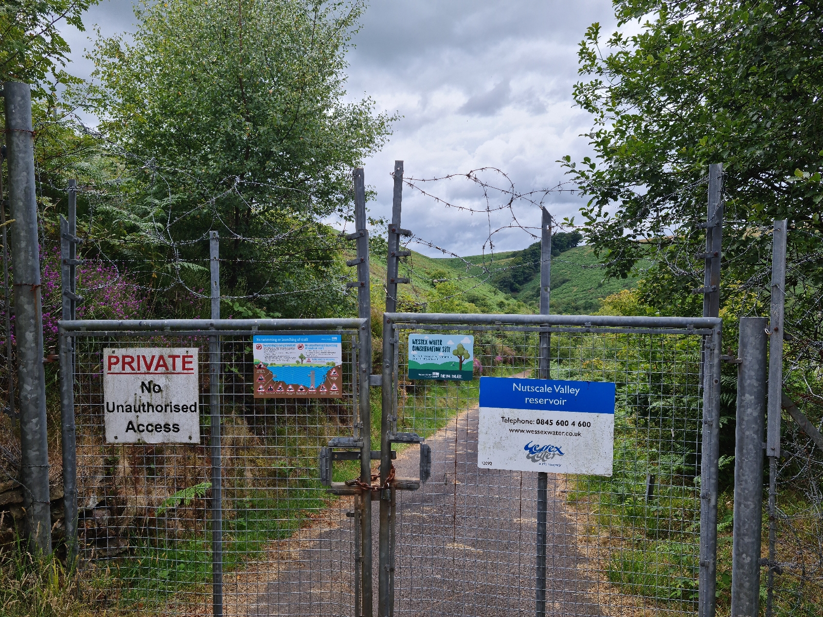 I had been hoping for a dip, it was surroubded by open access land, but it wasnt too be as it was well fenced in.

Onwards and across the moors, I made the decision to cut the route slightly shorter as I was making slow progress. This way I could camp a bit further along the route as well.

My feet were beginning to hurt and i was worried i might be getting a blister on ny heels, as I don't tend to suffer from them i hadn't brought any tape, but will add this to my pack next time.
 I found a spot on the moors to set up my tent and was soon curled up in my sleeping bag nice and cosy.
15.4 miles hiked
Day 2
I was on my way not long after 7am and headed to Tarr Steps. On my way here I realised I'd lost the clip I use to attach my map to my rucksack, fortunately i was able to borrow another clip and some string to sort a new one. It makes it much easier when using poles.

Tarr Steps were lovely, glad I was there early so had them to myself.
 Heading back onto the moors I saw some Exmoor Ponies, it was impressive how easily they moved through the bracken.

Up on the moors and it actually started raining, so waterproof was on for a while. another good spot to work on navigation. Then it was down into Dulverton where i had some lunch. Leaving here my feet were really hurting and my legs not much better so I wasn't moving super fast.
 But when I saw Wimbleball Lake I knew that I was on the final stretch. With fishermen and sailing boats on the water I wasn't sure I'd managed a dip.
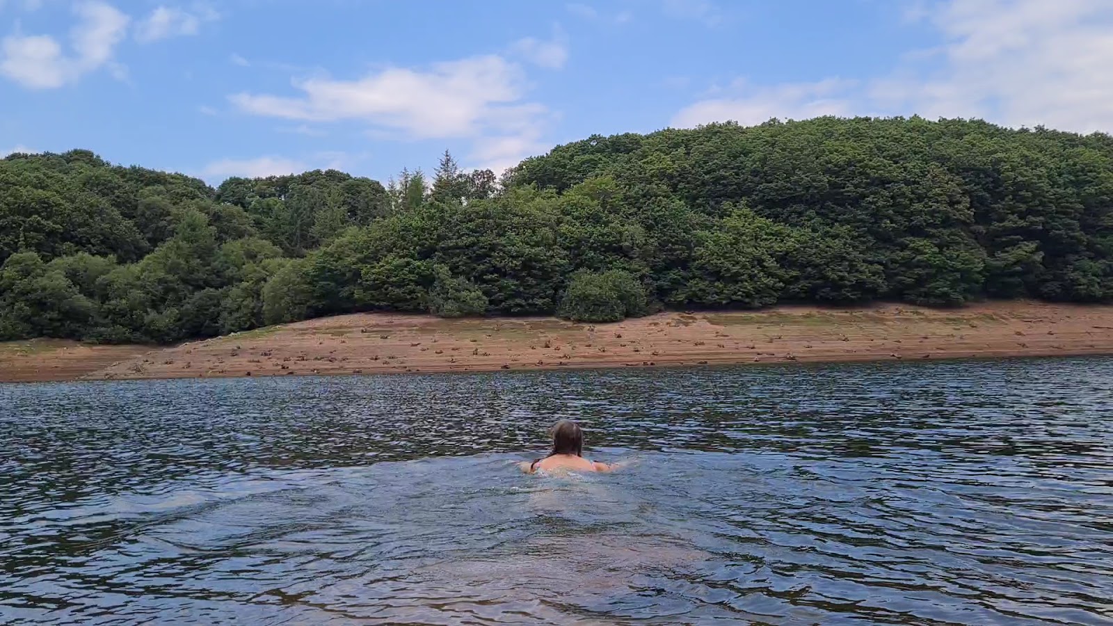 But i found a quiet spot and snuck in, felt much better when i got out and for a while even my feet stopped hurting.
 I had one last stop at the top of the last hill before descending to my friend Leila's where we have been spending g the week in our van.
 Ali and Chip came to meet me on the last bit which was lovely.

Have to say I was happy to see the van.
17.4 miles covered
Overall it was a great adventure, but has left me very sore and tired. Ive definitely learnt that less mileage is better, especially if I want to spend time practicing navigation. Also although my boots felt super comfy everytime I put them on, I should probably have spent a bit more time in them before covering 33miles, being barefoot boots there is less cushioning than my other hiking boots.
Now where shall I plan my next adventure?